 Photo: SGI/Karin Bergdahl
Landslide Risk Mapping
We map the risk of landslides along Swedish rivers and water courses. The work started with mapping the risks in the Göta älv River Valley, 2009-2012. We are now carrying on investigating more water courses for the risk of landslides. Here you can study the documentation and tools that we developed during our mapping work.
We are updating data from earlier investigations and at the same time we continue to map the risk of landslides along Swedish rivers and water courses. Mapping is performed within the framework of our work on climate adaptation.
We have made an assessment of which water courses that have the highest priority to map from a socio-economic perspective.
Ongoing work
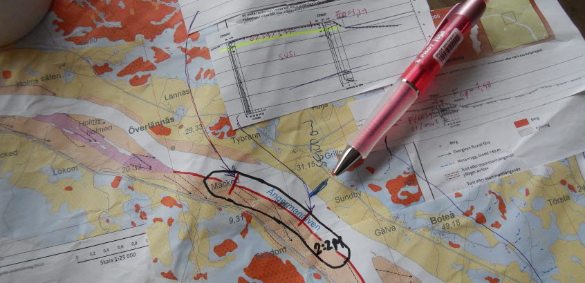
Ångermanälven (Ångermanälven River Valley). Started autumn 2015 and investigations are carried out in stages.
Previous investigations
- Göta älv River Valley 2009-2012
- Norsälven River Valley 2013-2015
- Säveån River Valley 2015-2017
Other prioritized water courses
Umeälven River Valley, Dalälven River Valley, Luleälven River Valley, Klarälven River Valley, Viskan River Valley and the coast of Bohus County.
Results
- Comprehensive Landslide Risk Map illustrating the probability of landslide, consequences of landslide, the landslide risk and climate change impact.
- Basis for planning decision on a municipal comprehensive plan level
- Basis for climate adaptation measures
- Method development of the Göta River Valley investigation
Note that data from the investigations are based on the prevailing conditions at the time of the study. The assessment of risk, impact and probability of landslides can change as measures are implemented.
Results from the landslide risk mapping are presented in a map viewing service. Maps and menus are in Swedish:

